
Input data
- Meteorology: ECMWF ERA5
- Emissions:
- Anthropogenic:
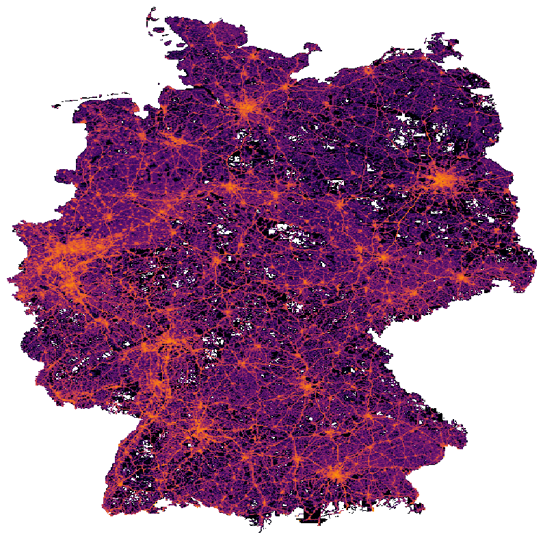
- Germany, BeNeLux, eastern France: (0.008° x 0.016°) TNO GHGco v4.1 2018 (personal communication Hugo Denier van den Gon, based on [Super et al., 2020])
- Elsewhere: (0.05° x 0.1°) TNO GHGco v4.0 2018 (personal communication Hugo Denier van den Gon, based on [Super et al., 2020])
- Biogenic:
CO2_VPRM: (0.008° x 0.016°) offline VPRM [J. Marshall, personal communication]CO2_VPRM_V2: (1km x 1km) offline VPRM, new version [T. Glauch, personal communication]
- Anthropogenic:
- Landuse:
- non-urban: (250m x 250m) CORINE to USGS (corine2usgs_2012v2020_250m) [Breuer, 2021]
- urban: (100m x 100m) Local Climate Zones using w2w v0.5.0 [Demuzere, 2022]
- Topography: (res cf. below) COP DEM [M. Galkowski, personal communication]
In order to minimize deviations from real meteorological conditions, WRF was reinitialized from ERA5 data every 7 days with a 12 hour spin-up.
Domain setup
| Domain no | Name | Resolution | Extent | Topography resolution | Grid nudging | Zarr file |
|---|---|---|---|---|---|---|
| 1 | Europe | 15km | 156x171 | 30s | 3h Q, T, U,V above PBL | [MYJ,YSU]/wrfout_d01.zarr |
| 2 | Germany | 5km | 226x271 | 30s | 3h Q, T, U,V above PBL | [MYJ,YSU]/wrfout_d02.zarr |
| 3 | Rhine-Neckar | 1km | 121x156 | 90m | - | [MYJ,YSU]/wrfout_d03.zarr |
| 4 | Berlin | 1km | 176x171 | 90m | - | [MYJ,YSU]/wrfout_d04.zarr |
| 5 | Rhine-Ruhr | 1km | 121x131 | 90m | - | [MYJ,YSU]/wrfout_d05.zarr |
| 6 | Nuremberg | 1km | 121x131 | 90m | - | [MYJ,YSU]/wrfout_d06.zarr |
| 7 | Munich | 1km | 121x131 | 90m | - | [MYJ,YSU]/wrfout_d07.zarr |
Variables
WRF tracer fields
The BCK fields using CAMS are initialized with CAMS concentrations and the beginning and the largest domain uses the CAMS concentration fields as boundary conditions.
The VPRM fields are offset by 407 ppm.
| Variable in dataset | Species | Emiss. type | Inventory | Source type | Sectors |
|---|---|---|---|---|---|
| CO2_TRAFFIC | CO2 | fossil | TNO | area, point | F1, F2, F3, F4, G, H, I |
| CO2_AREA | CO2 | fossil | TNO | area | all except TRAFFIC |
| CO2_POINT | CO2 | fossil | TNO | point | all except TRAFFIC |
| CO2_BF | CO2 | bio | TNO | area, point | all |
| CO2_VPRM (+407 ppm) | CO2 | bio | VPRM | - | - |
| CO2_VPRM_V2 (+407 ppm) | CO2 | bio | VPRM | - | - |
| CO2_BCK | CO2 | bio, fossil | CAMS conc. | all | all |
| CO_ANT | CO | bio, fossil | TNO | area, point | all |
| CO_BCK | CO | bio, fossil | CAMS conc. | all | all |
Computed variables
The following variables are computed from some of the above WRF output fields.
| Display Name | Variable in dataset | Calculation |
|---|---|---|
| Anthropogenic CO2 | CO2_ANTHRO | CO2_TRAFFIC + CO2_AREA + CO2_POINT + CO2_BF |
| Total CO2 | CO2_TOTAL | CO2_ANTHRO + CO2_BCK + CO2_VPRM - 407. |
| Total CO2 (Bio v2) | CO2_TOTAL_V2 | CO2_ANTHRO + CO2_BCK + CO2_VPRM_V2 - 407. |
| Total CO | CO_TOTAL | CO_ANT + CO_BCK |
| Wind Speed | wind_speed | metpy.calc.wind_speed(wind_speed_north, wind_speed_east) |
| Wind Direction | wind_direction | metpy.calc.wind_direction(wind_speed_north, wind_speed_east) |
| 10m Wind Speed | wind_speed_10 | metpy.calc.wind_speed(wind_speed_north_10, wind_speed_east_10) |
| 10m Wind Direction | wind_direction_10 | metpy.calc.wind_direction(wind_speed_north_10, wind_speed_east_10) |
Every file also contains pre-computed statistics information about select variables in the stats group.
The variables which have statistics information available are:
CO2_AREA, CO2_POINT, CO2_TRAFFIC, CO2_BF, CO2_BCK, CO2_VPRM, CO2_VPRM_V2, CO2_ANTHRO, CO2_TOTAL, CO2_TOTAL_V2, CO_ANT, CO_BCK, CO_TOTAL, air_pressure, wind_north, wind_north_10, wind_east, wind_east_10, wind_speed, wind_speed_10
For these, the following statistics are available on a per-day and per-height basis:
min, max, mean, median, 0.2% quantile, 99.8% quantile, 5% quantile, 95% quantile